 vesseltracker.com
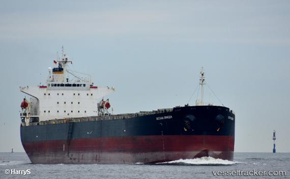
Vessel CHANG YANG JIN HAI IMO: 9254719, MMSI: 636021353 Bulk Carrier
UTC, 25.84041, 120.67372, course: 186, speed: 12
UTC, 25.14483, 120.42042, course: 207, speed: 13
2026-01-14 23:47:51 UTC, 24.85200, 120.31649, course: 188, speed: 13
Live AIS position:
UTC. 29 nm SE of Xiaocuo Pt),
updated 2026-01-14 23:47:51 UTC.
Find the position of the vessel CHANG YANG JIN HAI on the map. The latter are known coordinates and path.
marine traffic ship tracker show on live map
The current position of vessel CHANG YANG JIN HAI is 24.85200 lat / 120.31649 lng. Updated: 2026-01-14 23:47:51 UTCCurrently sailing under the flag of Liberia
CHANG YANG JIN HAI built in 2002 year
Deadweight:
75735 tDetails:
Last coordinates of the vessel:
UTC, 25.97295, 120.68464, course: 183, speed: 11UTC, 25.84041, 120.67372, course: 186, speed: 12
UTC, 25.14483, 120.42042, course: 207, speed: 13
2026-01-14 23:47:51 UTC, 24.85200, 120.31649, course: 188, speed: 13