 vesseltracker.com
Find the position of the vessel TINA I on the map. The latter are known coordinates and path.
marine traffic ship tracker show on live map
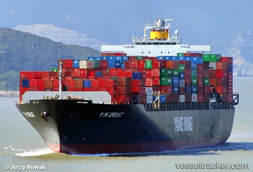
The current position of vessel TINA I is 7.40847 lat / 78.2133 lng. Updated: 2024-04-29 01:05:41 UTCCurrently sailing under the flag of Liberia
TINA I built in 2004 year
Deadweight:
67270 tPayload_mass:
67270 tonneGross tonnage:
66332Service entry:
2004-01-01T00:00:00ZManufacturer:
Koyo Dockyard (Japanese yard)
Details:
Last coordinates of the vessel:
UTC, 7.59557, 77.5234, course: 90, speed: 11.6UTC, 7.55118, 77.7224, course: 107, speed: 12
UTC, 7.4652, 77.9655, course: 103, speed: 11.8
2024-04-29 01:05:41 UTC, 7.40847, 78.2133, course: 105, speed: 11.8