 vesseltracker.com
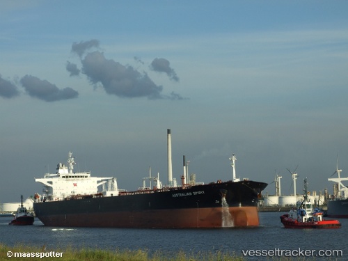
Vessel KRISTINA IMO: 9247455, MMSI: 636021407 FSO, Oil
UTC, 6.22913, 2.56048, course: 265, speed: 0
UTC, 6.23022, 2.55968, course: 241, speed: 0.1
2026-01-30 12:24:23 UTC, 6.22983, 2.56014, course: 252, speed: 0.1
Live AIS position:
UTC. 10 nm SE of Cotonou),
updated 2026-01-30 12:24:23 UTC.
Find the position of the vessel KRISTINA on the map. The latter are known coordinates and path.
marine traffic ship tracker show on live map
The current position of vessel KRISTINA is 6.22983 lat / 2.56014 lng. Updated: 2026-01-30 12:24:23 UTCCurrently sailing under the flag of Liberia
KRISTINA built in 2004 year
Deadweight:
111905 tDetails:
Last coordinates of the vessel:
UTC, 6.22959, 2.56034, course: 256, speed: 0.1UTC, 6.22913, 2.56048, course: 265, speed: 0
UTC, 6.23022, 2.55968, course: 241, speed: 0.1
2026-01-30 12:24:23 UTC, 6.22983, 2.56014, course: 252, speed: 0.1