 vesseltracker.com
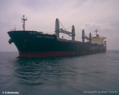
Vessel SEA DESTINY IMO: 9454175, MMSI: 636021426 Bulk Carrier
UTC, 24.03833, -85.17333, course: -1, speed: 12
UTC, 23.79431, -84.80123, course: 100, speed: 11.1
2026-02-01 12:17:38 UTC, 23.74167, -84.37333, course: -1, speed: 12
Live AIS position:
UTC. 66 nm NW of Vedado),
updated 2026-02-01 12:17:38 UTC.
Find the position of the vessel SEA DESTINY on the map. The latter are known coordinates and path.
marine traffic ship tracker show on live map
The current position of vessel SEA DESTINY is 23.74167 lat / -84.37333 lng. Updated: 2026-02-01 12:17:38 UTCCurrently sailing under the flag of Liberia
SEA DESTINY built in 2009 year
Deadweight:
55614 tDetails:
Last coordinates of the vessel:
UTC, 24.27500, -85.46333, course: -1, speed: 11UTC, 24.03833, -85.17333, course: -1, speed: 12
UTC, 23.79431, -84.80123, course: 100, speed: 11.1
2026-02-01 12:17:38 UTC, 23.74167, -84.37333, course: -1, speed: 12