 vesseltracker.com
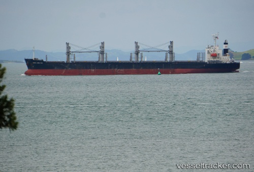
Vessel AMIDALA IMO: 9728344, MMSI: 636021488 Bulk Carrier
UTC, 13.92412, -90.79638, course: 272, speed: 0
UTC, 13.92408, -90.79635, course: 272, speed: 0
2026-02-04 22:08:43 UTC, 13.92408, -90.79629, course: 272, speed: 0
Live AIS position:
UTC. Near Puerto San José),
updated 2026-02-04 22:08:43 UTC.
Find the position of the vessel AMIDALA on the map. The latter are known coordinates and path.
marine traffic ship tracker show on live map
The current position of vessel AMIDALA is 13.92408 lat / -90.79629 lng. Updated: 2026-02-04 22:08:43 UTCCurrently sailing under the flag of Liberia
AMIDALA built in 2015 year
Deadweight:
34443 tDetails:
Last coordinates of the vessel:
UTC, 13.92408, -90.79633, course: 272, speed: 0UTC, 13.92412, -90.79638, course: 272, speed: 0
UTC, 13.92408, -90.79635, course: 272, speed: 0
2026-02-04 22:08:43 UTC, 13.92408, -90.79629, course: 272, speed: 0