 vesseltracker.com
Live AIS position:
1.27288° N, 103.90524° E UTC. Near Choa Chu Kang),
updated 2025-11-22 07:32:32 UTC.
Find the position of the vessel MARINE BRIGHT on the map. The latter are known coordinates and path.
marine traffic ship tracker show on live map
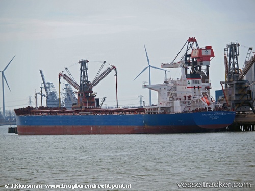
The current position of vessel MARINE BRIGHT is 1.27288 lat / 103.90524 lng. Updated: 2025-11-22 07:32:32 UTCCurrently sailing under the flag of Liberia
MARINE BRIGHT built in 2012 year
Deadweight:
114013 tDetails:
Last coordinates of the vessel:
UTC, 1.27252, 103.90531, course: 251, speed: 0.1UTC, 1.27300, 103.90499, course: 237, speed: 0.1
UTC, 1.27307, 103.90510, course: 235, speed: 0.1
2025-11-22 07:32:32 UTC, 1.27288, 103.90524, course: 237, speed: 0