 vesseltracker.com
Find the position of the vessel EASTERN MAGNOLIA on the map. The latter are known coordinates and path.
marine traffic ship tracker show on live map
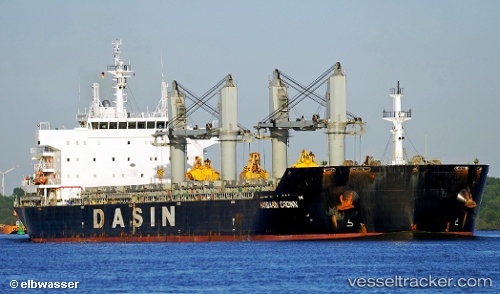
The current position of vessel EASTERN MAGNOLIA is 38.72784 lat / 119.54550 lng. Updated: 2025-11-07 10:34:52 UTCCurrently sailing under the flag of Liberia
EASTERN MAGNOLIA built in 2012 year
Deadweight:
56406 tDetails:
Last coordinates of the vessel:
UTC, 38.76744, 118.89701, course: 100, speed: 10.9UTC, 38.74880, 119.05351, course: 97, speed: 10.9
UTC, 38.73120, 119.46075, course: 85, speed: 11.4
2025-11-07 10:34:52 UTC, 38.72784, 119.54550, course: 95, speed: 11.1