 vesseltracker.com
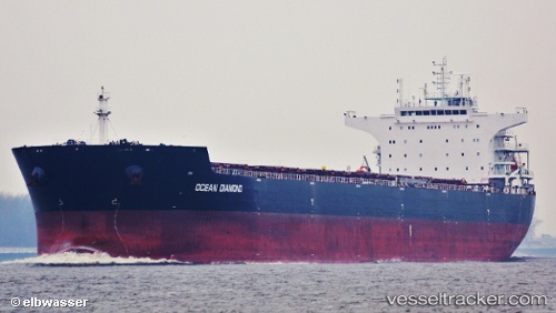
Find the position of the vessel HONG G on the map. The latter are known coordinates and path.
marine traffic ship tracker show on live map
The current position of vessel HONG G is 11.5383 lat / 62.2217 lng. Updated: 2024-04-30 13:25:46 UTCCurrently sailing under the flag of Liberia
HONG G built in 2012 year
Deadweight:
93025 tPayload_mass:
93025 tonneGross tonnage:
51209Service entry:
2012-01-01T00:00:00ZDetails:
Last coordinates of the vessel:
UTC, 11.6583, 61.8367, course: -1, speed: 10UTC, 11.6501, 61.8659, course: 107, speed: 10.9
UTC, 11.5622, 62.1518, course: 108, speed: 11
2024-04-30 13:25:46 UTC, 11.5383, 62.2217, course: -1, speed: 10