 vesseltracker.com
Find the position of the vessel SUEZ FURY on the map. The latter are known coordinates and path.
marine traffic ship tracker show on live map
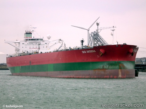
The current position of vessel SUEZ FURY is 42.905 lat / -10.2183 lng. Updated: 2024-05-07 11:44:11 UTCCurrently sailing under the flag of Liberia
SUEZ FURY built in 2006 year
Port of registry:
Bergen (Norwegian city in Vestland, Norway)Deadweight:
158933 tPayload_mass:
158933 tonneGross tonnage:
81380Service entry:
2006-01-01T00:00:00ZManufacturer:
Hyundai Samho Heavy Industries (company)Details:
Last coordinates of the vessel:
UTC, 43.5233, -10.0633, course: -1, speed: 12UTC, 43.1983, -10.2067, course: -1, speed: 12
UTC, 43.1016, -10.2137, course: 181, speed: 12.9
2024-05-07 11:44:11 UTC, 42.905, -10.2183, course: -1, speed: 12