 vesseltracker.com
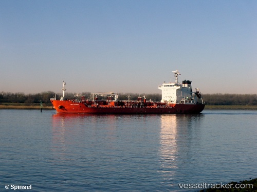
Vessel NEW RANGER IMO: 9328326, MMSI: 636021919 Oil/Chemical Tanker
UTC, 42.59517, -8.77831, course: 106, speed: 0
UTC, 42.59517, -8.77829, course: 106, speed: 0
2026-02-24 11:40:06 UTC, 42.60048, -8.79006, course: 254, speed: 7.6
Live AIS position:
UTC. Near Villagarcia),
updated 2026-02-24 11:40:06 UTC.
Find the position of the vessel NEW RANGER on the map. The latter are known coordinates and path.
marine traffic ship tracker show on live map
The current position of vessel NEW RANGER is 42.60048 lat / -8.79006 lng. Updated: 2026-02-24 11:40:06 UTCCurrently sailing under the flag of Liberia
Details:
Last coordinates of the vessel:
UTC, 42.59500, -8.77667, course: -1, speed: 0UTC, 42.59517, -8.77831, course: 106, speed: 0
UTC, 42.59517, -8.77829, course: 106, speed: 0
2026-02-24 11:40:06 UTC, 42.60048, -8.79006, course: 254, speed: 7.6