 vesseltracker.com
Find the position of the vessel MAZU on the map. The latter are known coordinates and path.
marine traffic ship tracker show on live map
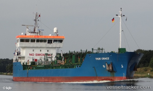
The current position of vessel MAZU is 45.1928 lat / 28.9697 lng. Updated: 2024-05-05 10:30:20 UTCCurrently sailing under the flag of Liberia
MAZU built in 1999 year
Port of registry:
Delfzijl (city and former municipality in Groningen, Netherlands)Deadweight:
6535 tGross tonnage:
3653Service entry:
1999-01-01T00:00:00ZManufacturer:
Ferus Smit (shipyard in Westerbroek, Netherlands).jpg)
Details:
Last coordinates of the vessel:
UTC, 45.1928, 28.9697, course: 287, speed: 4.4UTC, 45.1928, 28.9697, course: 287, speed: 4.4
UTC, 45.1928, 28.9697, course: 287, speed: 4.4
2024-05-05 10:30:20 UTC, 45.1928, 28.9697, course: 287, speed: 4.4