 vesseltracker.com
Live AIS position:
1.28398° N, 103.95215° E UTC. Near Tampines),
updated 2025-11-15 15:30:40 UTC.
Find the position of the vessel VAN KNIGHT on the map. The latter are known coordinates and path.
marine traffic ship tracker show on live map
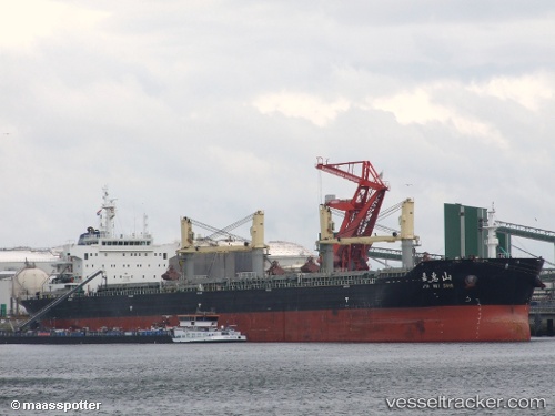
The current position of vessel VAN KNIGHT is 1.28398 lat / 103.95215 lng. Updated: 2025-11-15 15:30:40 UTCCurrently sailing under the flag of Liberia
VAN KNIGHT built in 2011 year
Deadweight:
56611 tDetails:
Last coordinates of the vessel:
UTC, 1.28398, 103.95215, course: 283, speed: 0UTC, 1.28398, 103.95215, course: 283, speed: 0
UTC, 1.28398, 103.95215, course: 283, speed: 0
2025-11-15 15:30:40 UTC, 1.28398, 103.95215, course: 283, speed: 0