 vesseltracker.com
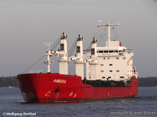
Vessel LODESTAR WAY IMO: 9434175, MMSI: 636022148 General Cargo Ship
UTC, 44.72749, 37.77514, course: 329, speed: 8
UTC, 44.72749, 37.77514, course: 329, speed: 8
2026-03-02 16:06:59 UTC, 44.72476, 37.77511, course: 329, speed: 52.4
Live AIS position:
UTC. Near Novorossiysk),
updated 2026-03-02 16:06:59 UTC.
Find the position of the vessel LODESTAR WAY on the map. The latter are known coordinates and path.
marine traffic ship tracker show on live map
The current position of vessel LODESTAR WAY is 44.72476 lat / 37.77511 lng. Updated: 2026-03-02 16:06:59 UTCCurrently sailing under the flag of Liberia
LODESTAR WAY built in 2007 year
Deadweight:
18510 tDetails:
Last coordinates of the vessel:
UTC, 44.72749, 37.77514, course: 329, speed: 8UTC, 44.72749, 37.77514, course: 329, speed: 8
UTC, 44.72749, 37.77514, course: 329, speed: 8
2026-03-02 16:06:59 UTC, 44.72476, 37.77511, course: 329, speed: 52.4