 vesseltracker.com
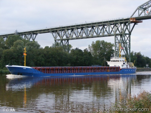
Vessel GMS MANA IMO: 9393424, MMSI: 636022264 Multi Purpose Offshore Vessel
UTC, 25.83626, 51.65922, course: -1, speed: 3.5
UTC, 25.83637, 51.65937, course: 293, speed: 0
2026-03-02 07:48:51 UTC, 25.83500, 51.65833, course: -1, speed: 0
Live AIS position:
UTC. Near RAS LAFFAN),
updated 2026-03-02 07:48:51 UTC.
Find the position of the vessel GMS MANA on the map. The latter are known coordinates and path.
marine traffic ship tracker show on live map
The current position of vessel GMS MANA is 25.83500 lat / 51.65833 lng. Updated: 2026-03-02 07:48:51 UTCCurrently sailing under the flag of Liberia
Details:
Last coordinates of the vessel:
UTC, 25.83640, 51.65907, course: -1, speed: 0.1UTC, 25.83626, 51.65922, course: -1, speed: 3.5
UTC, 25.83637, 51.65937, course: 293, speed: 0
2026-03-02 07:48:51 UTC, 25.83500, 51.65833, course: -1, speed: 0