 vesseltracker.com
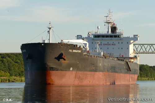
Vessel BOND IMO: 9311725, MMSI: 636022397 Oil Products Tanker
UTC, 30.46357, 121.01278, course: 104, speed: 11
2026-02-25 05:15:24 UTC, 30.46357, 121.01278, course: 104, speed: 11
Live AIS position:
UTC. Near Haiyan),
updated 2026-02-25 05:15:24 UTC.
Find the position of the vessel BOND on the map. The latter are known coordinates and path.
marine traffic ship tracker show on live map
The current position of vessel BOND is 30.46357 lat / 121.01278 lng. Updated: 2026-02-25 05:15:24 UTCCurrently sailing under the flag of Liberia
BOND built in 2006 year
Deadweight:
47470 tDetails:
Last coordinates of the vessel:
UTC, 30.46357, 121.01278, course: 104, speed: 11UTC, 30.46357, 121.01278, course: 104, speed: 11
2026-02-25 05:15:24 UTC, 30.46357, 121.01278, course: 104, speed: 11