 vesseltracker.com
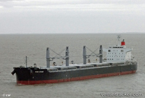
Vessel GEOSTAR IMO: 9573842, MMSI: 636022492 Bulk Carrier
UTC, 22.98224, 70.22739, course: 338, speed: 0
UTC, 22.98167, 70.22667, course: -1, speed: 0
2026-03-03 20:12:40 UTC, 22.98213, 70.22741, course: 338, speed: 0
Live AIS position:
UTC. Near Kandla),
updated 2026-03-03 20:12:40 UTC.
Find the position of the vessel GEOSTAR on the map. The latter are known coordinates and path.
marine traffic ship tracker show on live map
The current position of vessel GEOSTAR is 22.98213 lat / 70.22741 lng. Updated: 2026-03-03 20:12:40 UTCCurrently sailing under the flag of Liberia
Details:
Last coordinates of the vessel:
UTC, 22.98223, 70.22743, course: -1, speed: 0UTC, 22.98224, 70.22739, course: 338, speed: 0
UTC, 22.98167, 70.22667, course: -1, speed: 0
2026-03-03 20:12:40 UTC, 22.98213, 70.22741, course: 338, speed: 0