 vesseltracker.com
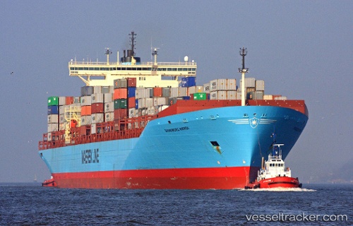
Find the position of the vessel MSC YUKTA X on the map. The latter are known coordinates and path.
marine traffic ship tracker show on live map
The current position of vessel MSC YUKTA X is 34.9224 lat / 123.622 lng. Updated: 2025-07-04 13:30:18 UTCCurrently sailing under the flag of Liberia
MSC YUKTA X built in 1998 year
Port of registry:
Svendborg (town on the south coast of Funen, Denmark)Deadweight:
119954 tGross tonnage:
92198Beam:
32.3 metreOperator:
Maersk Line (global container division of Maersk)Service entry:
1998-01-01T00:00:00ZManufacturer:
Odense Steel Shipyard (Danish shipbuilding company)Details:
Last coordinates of the vessel:
UTC, 35.2299, 122.932, course: 119, speed: 16.3UTC, 35.1197, 123.216, course: 120, speed: 16.7
UTC, 35.0082, 123.497, course: 119, speed: 16.7
2025-07-04 13:30:18 UTC, 34.9224, 123.622, course: 135, speed: 15.1