 vesseltracker.com
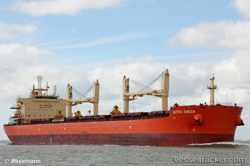
Vessel STEEL C IMO: 9700330, MMSI: 636022811 Cargo
UTC, 30.11437, -90.98415, course: 285, speed: 0.1
UTC, 30.11435, -90.98407, course: 284, speed: 0.1
2026-03-14 17:28:59 UTC, 30.11441, -90.98414, course: 284, speed: 0.1
Live Vessel STEEL C Analytics (details, animations, etc.)
Live AIS position: UTC. Near Burnside), updated 2026-03-14 17:28:59 UTC.Find the position of the vessel STEEL C on the map. The latter are known coordinates and path.
marine traffic ship tracker show on live map
The current position of vessel STEEL C is 30.11441 lat / -90.98414 lng. Updated: 2026-03-14 17:28:59 UTCCurrently sailing under the flag of Liberia
Details:
Last coordinates of the vessel:
UTC, 30.11437, -90.98415, course: 286, speed: 0.1UTC, 30.11437, -90.98415, course: 285, speed: 0.1
UTC, 30.11435, -90.98407, course: 284, speed: 0.1
2026-03-14 17:28:59 UTC, 30.11441, -90.98414, course: 284, speed: 0.1