 vesseltracker.com
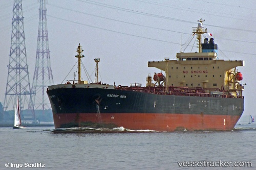
Vessel DINA F IMO: 9367750, MMSI: 636023114 Oil Products Tanker
UTC, 8.83417, -79.53444, course: 338, speed: 0
UTC, 8.83418, -79.53424, course: 328, speed: 0
2026-01-19 02:19:12 UTC, 8.83432, -79.53417, course: 329, speed: 0
Live AIS position:
UTC. Near TABOGA),
updated 2026-01-19 02:19:12 UTC.
Find the position of the vessel DINA F on the map. The latter are known coordinates and path.
marine traffic ship tracker show on live map
The current position of vessel DINA F is 8.83432 lat / -79.53417 lng. Updated: 2026-01-19 02:19:12 UTCCurrently sailing under the flag of Liberia
DINA F built in 0 year
Deadweight:
0 tDetails:
Last coordinates of the vessel:
UTC, 8.83408, -79.53462, course: 346, speed: 0UTC, 8.83417, -79.53444, course: 338, speed: 0
UTC, 8.83418, -79.53424, course: 328, speed: 0
2026-01-19 02:19:12 UTC, 8.83432, -79.53417, course: 329, speed: 0