 vesseltracker.com
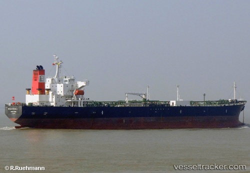
Vessel ANNA MARIA P IMO: 9288368, MMSI: 636023192 Oil Products Tanker
UTC, 59.70302, 28.42679, course: 2, speed: 0
UTC, 59.70303, 28.42679, course: 2, speed: 0
2026-02-13 09:56:53 UTC, 59.70305, 28.42680, course: 2, speed: 0
Live AIS position:
UTC. Near Ust-Luga),
updated 2026-02-13 09:56:53 UTC.
Find the position of the vessel ANNA MARIA P on the map. The latter are known coordinates and path.
marine traffic ship tracker show on live map
The current position of vessel ANNA MARIA P is 59.70305 lat / 28.42680 lng. Updated: 2026-02-13 09:56:53 UTCCurrently sailing under the flag of Liberia
ANNA MARIA P built in 2005 year
Deadweight:
47278 tDetails:
Last coordinates of the vessel:
UTC, 59.83568, 28.41535, course: 209, speed: 3.2UTC, 59.70302, 28.42679, course: 2, speed: 0
UTC, 59.70303, 28.42679, course: 2, speed: 0
2026-02-13 09:56:53 UTC, 59.70305, 28.42680, course: 2, speed: 0