 vesseltracker.com
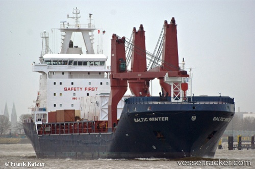
Vessel ST MARIA IMO: 9467134, MMSI: 636023938 Multi Purpose Carrier
UTC, 59.85028, 28.42045, course: 217, speed: 0
UTC, 59.85043, 28.42048, course: 217, speed: 0
2026-02-18 15:34:35 UTC, 59.85043, 28.42048, course: 217, speed: 0
Live AIS position:
UTC. Near VISTINO),
updated 2026-02-18 15:34:35 UTC.
Find the position of the vessel ST MARIA on the map. The latter are known coordinates and path.
marine traffic ship tracker show on live map
The current position of vessel ST MARIA is 59.85043 lat / 28.42048 lng. Updated: 2026-02-18 15:34:35 UTCCurrently sailing under the flag of Liberia
Details:
Last coordinates of the vessel:
UTC, 59.85040, 28.42075, course: 217, speed: 0UTC, 59.85028, 28.42045, course: 217, speed: 0
UTC, 59.85043, 28.42048, course: 217, speed: 0
2026-02-18 15:34:35 UTC, 59.85043, 28.42048, course: 217, speed: 0