 vesseltracker.com
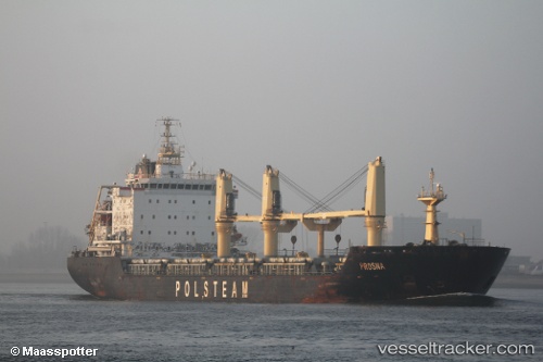
Vessel VERACRUZ IMO: 9521849, MMSI: 636024212 Bulk Carrier
UTC, 45.61097, -122.78163, course: 90, speed: 0.1
UTC, 45.61108, -122.78152, course: 90, speed: 0
2026-03-01 16:05:11 UTC, 45.61113, -122.78146, course: 89, speed: 0.1
Live AIS position:
UTC. Near Linnton),
updated 2026-03-01 16:05:11 UTC.
Find the position of the vessel VERACRUZ on the map. The latter are known coordinates and path.
marine traffic ship tracker show on live map
The current position of vessel VERACRUZ is 45.61113 lat / -122.78146 lng. Updated: 2026-03-01 16:05:11 UTCCurrently sailing under the flag of Liberia
Details:
Last coordinates of the vessel:
UTC, 45.61106, -122.78150, course: 90, speed: 0.1UTC, 45.61097, -122.78163, course: 90, speed: 0.1
UTC, 45.61108, -122.78152, course: 90, speed: 0
2026-03-01 16:05:11 UTC, 45.61113, -122.78146, course: 89, speed: 0.1