 vesseltracker.com
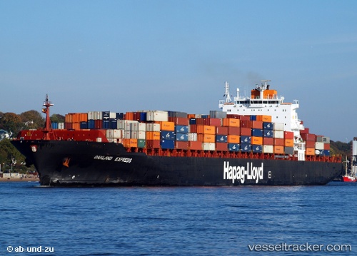
Vessel Istanbul Bridge IMO: 9200811, MMSI: 636024859 Container Ship
UTC, 36.82431, 5.89372, course: 170, speed: 0
UTC, 36.82435, 5.89375, course: 169, speed: 0
2026-01-29 21:38:23 UTC, 36.82435, 5.89375, course: 169, speed: 0.1
Live AIS position:
UTC. Near DJEN DJEN),
updated 2026-01-29 21:38:23 UTC.
Find the position of the vessel Istanbul Bridge on the map. The latter are known coordinates and path.
marine traffic ship tracker show on live map
The current position of vessel Istanbul Bridge is 36.82435 lat / 5.89375 lng. Updated: 2026-01-29 21:38:23 UTCCurrently sailing under the flag of Liberia
Istanbul Bridge built in 2000 year
Deadweight:
66781 tDetails:
Last coordinates of the vessel:
UTC, 36.82435, 5.89373, course: 169, speed: 0UTC, 36.82431, 5.89372, course: 170, speed: 0
UTC, 36.82435, 5.89375, course: 169, speed: 0
2026-01-29 21:38:23 UTC, 36.82435, 5.89375, course: 169, speed: 0.1