 vesseltracker.com
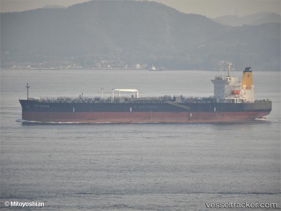
Vessel HIGH NAVIGATOR IMO: 9814143, MMSI: 636024951 Tanker
UTC, 47.30525, -2.08739, course: 275, speed: 0.1
UTC, 47.30530, -2.08743, course: -1, speed: 0
2026-02-27 19:57:52 UTC, 47.30527, -2.08742, course: 275, speed: 0
Live AIS position:
UTC. Near Donges),
updated 2026-02-27 19:57:52 UTC.
Find the position of the vessel HIGH NAVIGATOR on the map. The latter are known coordinates and path.
marine traffic ship tracker show on live map
The current position of vessel HIGH NAVIGATOR is 47.30527 lat / -2.08742 lng. Updated: 2026-02-27 19:57:52 UTCCurrently sailing under the flag of Liberia
Details:
Last coordinates of the vessel:
UTC, 47.30527, -2.08741, course: 275, speed: 0UTC, 47.30525, -2.08739, course: 275, speed: 0.1
UTC, 47.30530, -2.08743, course: -1, speed: 0
2026-02-27 19:57:52 UTC, 47.30527, -2.08742, course: 275, speed: 0