 vesseltracker.com
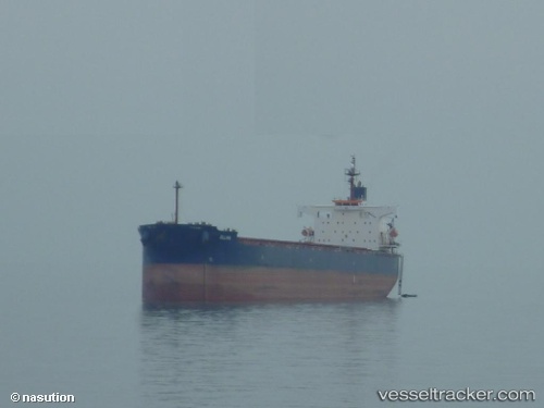
Vessel MANDY MORN IMO: 9398668, MMSI: 636025125 Bulk Carrier
UTC, 33.74833, -118.20667, course: -1, speed: 0
UTC, 33.74833, -118.20667, course: -1, speed: 0
2026-03-05 10:28:02 UTC, 33.74916, -118.20679, course: 182, speed: 0
Live Vessel MANDY MORN Analytics (details, animations, etc.)
Live AIS position: UTC. Near Long Beach), updated 2026-03-05 10:28:02 UTC.Find the position of the vessel MANDY MORN on the map. The latter are known coordinates and path.
marine traffic ship tracker show on live map
The current position of vessel MANDY MORN is 33.74916 lat / -118.20679 lng. Updated: 2026-03-05 10:28:02 UTCCurrently sailing under the flag of Liberia
Details:
Last coordinates of the vessel:
UTC, 33.74833, -118.20667, course: -1, speed: 0UTC, 33.74833, -118.20667, course: -1, speed: 0
UTC, 33.74833, -118.20667, course: -1, speed: 0
2026-03-05 10:28:02 UTC, 33.74916, -118.20679, course: 182, speed: 0