 vesseltracker.com
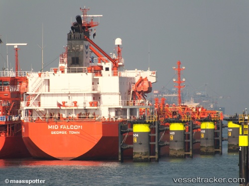
Vessel LILA EVIA IMO: 9330771, MMSI: 636025316 Oil/Chemical Tanker
UTC, 51.27849, 4.33207, course: 138, speed: 0
UTC, 51.25709, 4.36012, course: 181, speed: 0
2026-03-14 15:30:02 UTC, 51.25711, 4.36015, course: 181, speed: 0
Live Vessel LILA EVIA Analytics (details, animations, etc.)
Live AIS position: UTC. Near Pijp Tabak), updated 2026-03-14 15:30:02 UTC.Find the position of the vessel LILA EVIA on the map. The latter are known coordinates and path.
marine traffic ship tracker show on live map
The current position of vessel LILA EVIA is 51.25711 lat / 4.36015 lng. Updated: 2026-03-14 15:30:02 UTCCurrently sailing under the flag of Liberia
Details:
Last coordinates of the vessel:
UTC, 51.35450, 4.23506, course: 120, speed: 10.1UTC, 51.27849, 4.33207, course: 138, speed: 0
UTC, 51.25709, 4.36012, course: 181, speed: 0
2026-03-14 15:30:02 UTC, 51.25711, 4.36015, course: 181, speed: 0