 vesseltracker.com
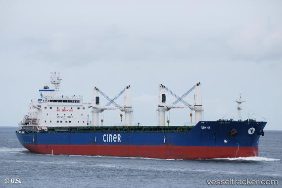
Vessel BLUE HORIZON IMO: 9625449, MMSI: 636025403 Bulk Carrier
UTC, 54.15333, 12.12333, course: -1, speed: 0
UTC, 54.15425, 12.12356, course: 340, speed: 0
2026-03-17 05:32:23 UTC, 54.15425, 12.12358, course: 340, speed: 0
Live Vessel BLUE HORIZON Analytics (details, animations, etc.)
Live AIS position: UTC. Near Warnemunde), updated 2026-03-17 05:32:23 UTC.Find the position of the vessel BLUE HORIZON on the map. The latter are known coordinates and path.
marine traffic ship tracker show on live map
The current position of vessel BLUE HORIZON is 54.15425 lat / 12.12358 lng. Updated: 2026-03-17 05:32:23 UTCCurrently sailing under the flag of Liberia
Details:
Last coordinates of the vessel:
UTC, 54.15426, 12.12357, course: 340, speed: 0UTC, 54.15333, 12.12333, course: -1, speed: 0
UTC, 54.15425, 12.12356, course: 340, speed: 0
2026-03-17 05:32:23 UTC, 54.15425, 12.12358, course: 340, speed: 0