 vesseltracker.com
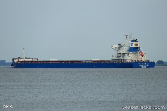
Vessel SEA NOVA IMO: 9734719, MMSI: 636025721 Cargo
UTC, -32.59291, 152.75606, course: 35, speed: 6.3
UTC, -32.42356, 152.84122, course: 22, speed: 6.6
2026-03-02 10:08:08 UTC, -32.16833, 152.93500, course: -1, speed: 7
Live AIS position:
UTC. 24 nm E of Coomba Park),
updated 2026-03-02 10:08:08 UTC.
Find the position of the vessel SEA NOVA on the map. The latter are known coordinates and path.
marine traffic ship tracker show on live map
The current position of vessel SEA NOVA is -32.16833 lat / 152.93500 lng. Updated: 2026-03-02 10:08:08 UTCCurrently sailing under the flag of Liberia
Details:
Last coordinates of the vessel:
UTC, -32.71833, 152.61667, course: -1, speed: 6UTC, -32.59291, 152.75606, course: 35, speed: 6.3
UTC, -32.42356, 152.84122, course: 22, speed: 6.6
2026-03-02 10:08:08 UTC, -32.16833, 152.93500, course: -1, speed: 7