 vesseltracker.com
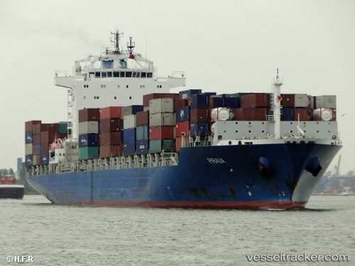
Vessel RIO KOBE IMO: 9419773, MMSI: 636025865 Container Ship
UTC, 35.59668, 139.77275, course: 328, speed: 0
UTC, 35.59673, 139.77277, course: 328, speed: 0
2026-03-14 18:03:07 UTC, 35.59668, 139.77277, course: 328, speed: 0
Live Vessel RIO KOBE Analytics (details, animations, etc.)
Live AIS position: UTC. Near Aomi), updated 2026-03-14 18:03:07 UTC.Find the position of the vessel RIO KOBE on the map. The latter are known coordinates and path.
marine traffic ship tracker show on live map
The current position of vessel RIO KOBE is 35.59668 lat / 139.77277 lng. Updated: 2026-03-14 18:03:07 UTCCurrently sailing under the flag of Liberia
Details:
Last coordinates of the vessel:
UTC, 35.59671, 139.77283, course: 328, speed: 0UTC, 35.59668, 139.77275, course: 328, speed: 0
UTC, 35.59673, 139.77277, course: 328, speed: 0
2026-03-14 18:03:07 UTC, 35.59668, 139.77277, course: 328, speed: 0