 vesseltracker.com
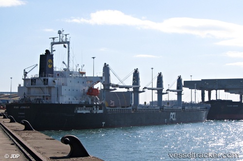
Vessel CANAKKALE S IMO: 9426855, MMSI: 636025938 Bulk Carrier
UTC, 38.95507, 26.61400, course: 48, speed: 13.7
UTC, 39.25652, 26.52040, course: 331, speed: 13.6
2026-03-03 08:07:00 UTC, 39.47230, 26.00425, course: -1, speed: 13.6
Live AIS position:
UTC. Near Baba Point),
updated 2026-03-03 08:07:00 UTC.
Find the position of the vessel CANAKKALE S on the map. The latter are known coordinates and path.
marine traffic ship tracker show on live map
The current position of vessel CANAKKALE S is 39.47230 lat / 26.00425 lng. Updated: 2026-03-03 08:07:00 UTCCurrently sailing under the flag of Liberia
Details:
Last coordinates of the vessel:
UTC, 38.60720, 26.27677, course: 334, speed: 13.6UTC, 38.95507, 26.61400, course: 48, speed: 13.7
UTC, 39.25652, 26.52040, course: 331, speed: 13.6
2026-03-03 08:07:00 UTC, 39.47230, 26.00425, course: -1, speed: 13.6