 vesseltracker.com
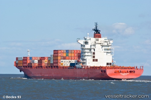
Find the position of the vessel Northern Guard on the map. The latter are known coordinates and path.
marine traffic ship tracker show on live map
The current position of vessel Northern Guard is 15.862 lat / 113.122 lng. Updated: 2025-04-18 21:54:55 UTCPort of registry:
Monrovia (capital city of Liberia)Speed:
23.9 knotPayload_mass:
53860 tonneGross tonnage:
41835Service entry:
2008-01-01T00:00:00ZManufacturer:
Hyundai Mipo Dockyard (South Korean shipbuilding company)Details:
Last coordinates of the vessel:
UTC, 15.2098, 112.785, course: 30, speed: 16.1UTC, 15.2928, 112.829, course: 20, speed: 16.2
UTC, 15.7226, 113.04, course: 26, speed: 15.7
2025-04-18 21:54:55 UTC, 15.862, 113.122, course: 34, speed: 15.3