 vesseltracker.com
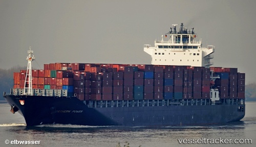
Find the position of the vessel Northern Power on the map. The latter are known coordinates and path.
marine traffic ship tracker show on live map
The current position of vessel Northern Power is 35.922 lat / -5.83684 lng. Updated: 2024-04-28 22:46:08 UTCPort of registry:
Monrovia (capital city of Liberia)Speed:
24 knotPayload_mass:
59346.1 tonneGross tonnage:
47855Service entry:
2010-01-01T00:00:00ZManufacturer:
Hanwha Ocean (shipbuilder of South Korea)Details:
Last coordinates of the vessel:
UTC, 36.132, -5.42243, course: 177, speed: 0UTC, 36.1317, -5.42167, course: -1, speed: 0
UTC, 36.132, -5.42246, course: 177, speed: 0
2024-04-28 22:46:08 UTC, 35.922, -5.83684, course: 237, speed: 13.1