 vesseltracker.com
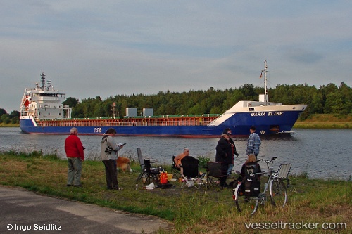
Find the position of the vessel Maria Elise on the map. The latter are known coordinates and path.
marine traffic ship tracker show on live map
The current position of vessel Maria Elise is 59.9651 lat / 29.7897 lng. Updated: 2024-07-12 02:26:24 UTCCurrently sailing under the flag of Liberia
Maria Elise built in 2009 year
Deadweight:
6050 tPayload_mass:
6050 tonneGross tonnage:
4255Service entry:
2009-01-01T00:00:00ZDetails:
Last coordinates of the vessel:
2024-07-12 02:26:24 UTC, 59.9651, 29.7897, course: 136, speed: 10.2