 vesseltracker.com
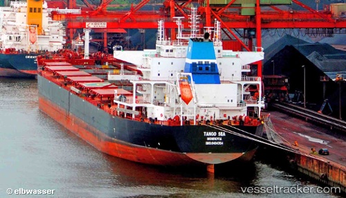
Vessel Carl Oldendorff IMO: 9484704, MMSI: 636092743 Bulk Carrier
UTC, 1.23388, 103.43948, course: 282, speed: 12.2
UTC, 1.39404, 103.20593, course: 307, speed: 11.3
2026-02-03 05:27:57 UTC, 1.63463, 102.86751, course: 303, speed: 13.6
Live AIS position:
UTC. 20 nm SW of Parit Raja),
updated 2026-02-03 05:27:57 UTC.
Find the position of the vessel Carl Oldendorff on the map. The latter are known coordinates and path.
marine traffic ship tracker show on live map
The current position of vessel Carl Oldendorff is 1.63463 lat / 102.86751 lng. Updated: 2026-02-03 05:27:57 UTCDetails:
Last coordinates of the vessel:
UTC, 1.21700, 103.89517, course: 244, speed: 9.7UTC, 1.23388, 103.43948, course: 282, speed: 12.2
UTC, 1.39404, 103.20593, course: 307, speed: 11.3
2026-02-03 05:27:57 UTC, 1.63463, 102.86751, course: 303, speed: 13.6