 vesseltracker.com
Find the position of the vessel Msc Ruby on the map. The latter are known coordinates and path.
marine traffic ship tracker show on live map
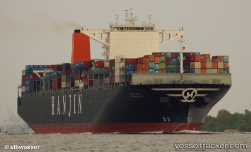
The current position of vessel Msc Ruby is 29.9824 lat / 122.084 lng. Updated: 2025-06-28 09:19:59 UTCCurrently sailing under the flag of Liberia
Msc Ruby built in 2013 year
Port of registry:
Monrovia (capital city of Liberia)Deadweight:
140700 tGross tonnage:
141754Service entry:
2013-01-01T00:00:00ZManufacturer:
HD Hyundai Heavy Industries (South Korean shipbuilding manufacturer)
Details:
Last coordinates of the vessel:
UTC, 29.9824, 122.084, course: -1, speed: 0UTC, 29.9824, 122.084, course: -1, speed: 0
UTC, 29.9824, 122.084, course: -1, speed: 0
UTC, 29.9824, 122.084, course: -1, speed: 0
UTC, 29.9824, 122.084, course: -1, speed: 0
2025-06-28 09:19:59 UTC, 29.9824, 122.084, course: -1, speed: 0