 vesseltracker.com
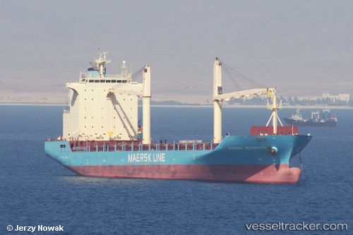
Vessel Maersk Weymouth IMO: 9410260, MMSI: 636092825 Container Ship
UTC, 26.80833, -89.46000, course: -1, speed: 17
UTC, 26.37500, -89.50167, course: -1, speed: 17
2026-01-13 23:10:52 UTC, 26.04667, -89.53500, course: -1, speed: 17
Live AIS position:
UTC. 124 nm SE of Gulfmex Lightering Area),
updated 2026-01-13 23:10:52 UTC.
Find the position of the vessel Maersk Weymouth on the map. The latter are known coordinates and path.
marine traffic ship tracker show on live map
The current position of vessel Maersk Weymouth is 26.04667 lat / -89.53500 lng. Updated: 2026-01-13 23:10:52 UTCCurrently sailing under the flag of Liberia
Maersk Weymouth built in 2009 year
Deadweight:
22314 tDetails:
Last coordinates of the vessel:
UTC, 27.05016, -89.43317, course: 186, speed: 17.5UTC, 26.80833, -89.46000, course: -1, speed: 17
UTC, 26.37500, -89.50167, course: -1, speed: 17
2026-01-13 23:10:52 UTC, 26.04667, -89.53500, course: -1, speed: 17