 vesseltracker.com
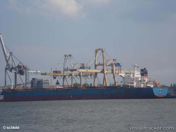
Vessel '636092981' IMO: 9448047, MMSI: 636092981
UTC, 30.65425, -88.03249, course: 180, speed: 0
UTC, 30.65423, -88.03251, course: 180, speed: 0
2026-02-04 16:33:26 UTC, 30.65425, -88.03246, course: 180, speed: 0
Live AIS position:
UTC. Near Pinto Island),
updated 2026-02-04 16:33:26 UTC.
Find the position of the vessel '636092981' on the map. The latter are known coordinates and path.
marine traffic ship tracker show on live map
The current position of vessel '636092981' is 30.65425 lat / -88.03246 lng. Updated: 2026-02-04 16:33:26 UTCDetails:
Last coordinates of the vessel:
UTC, 30.65428, -88.03246, course: 180, speed: 0UTC, 30.65425, -88.03249, course: 180, speed: 0
UTC, 30.65423, -88.03251, course: 180, speed: 0
2026-02-04 16:33:26 UTC, 30.65425, -88.03246, course: 180, speed: 0