 vesseltracker.com
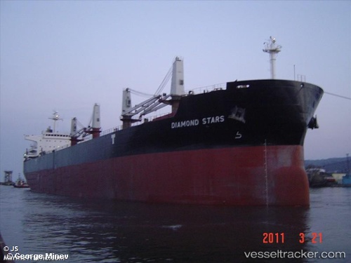
Vessel PABELA IMO: 9468126, MMSI: 636093079 Bulk Carrier
UTC, 1.16638, 103.68135, course: 303, speed: 11.3
UTC, 1.28193, 103.35255, course: 306, speed: 10.4
2026-02-17 03:31:12 UTC, 1.38613, 103.21245, course: 307, speed: 10.9
Live AIS position:
UTC. 21 nm W of Tanjong Bin),
updated 2026-02-17 03:31:12 UTC.
Find the position of the vessel PABELA on the map. The latter are known coordinates and path.
marine traffic ship tracker show on live map
The current position of vessel PABELA is 1.38613 lat / 103.21245 lng. Updated: 2026-02-17 03:31:12 UTCCurrently sailing under the flag of Liberia
PABELA built in 2011 year
Deadweight:
55389 tDetails:
Last coordinates of the vessel:
UTC, 1.28463, 103.98063, course: 59, speed: 0UTC, 1.16638, 103.68135, course: 303, speed: 11.3
UTC, 1.28193, 103.35255, course: 306, speed: 10.4
2026-02-17 03:31:12 UTC, 1.38613, 103.21245, course: 307, speed: 10.9