 vesseltracker.com
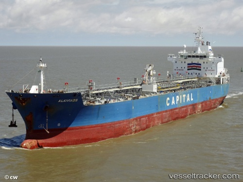
Find the position of the vessel CHEMTRANS MERCURY on the map. The latter are known coordinates and path.
marine traffic ship tracker show on live map
The current position of vessel CHEMTRANS MERCURY is 38.2659 lat / 15.692 lng. Updated: 2024-04-21 08:35:29 UTCCurrently sailing under the flag of Liberia
CHEMTRANS MERCURY built in 2006 year
Deadweight:
37623 tPayload_mass:
37623 tonneGross tonnage:
23270Beam:
27.4 metreService entry:
2006-01-01T00:00:00ZManufacturer:
Hyundai Mipo Dockyard (South Korean shipbuilding company)Details:
Last coordinates of the vessel:
UTC, 38.2659, 15.692, course: 20, speed: 13.7UTC, 38.2659, 15.692, course: 20, speed: 13.7
UTC, 38.2659, 15.692, course: 20, speed: 13.7
2024-04-21 08:35:29 UTC, 38.2659, 15.692, course: 20, speed: 13.7