 vesseltracker.com
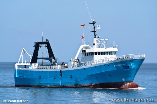
Vessel BLUE CASTOR IMO: 6403424, MMSI: 649522000 Pollution Control Vessel
UTC, 36.14874, 13.52523, course: 257, speed: 7.7
UTC, 36.13153, 13.42653, course: 259, speed: 7.2
2026-02-23 03:48:05 UTC, 36.10951, 13.22233, course: 262, speed: 8.4
Live AIS position:
UTC. 48 nm NE of LAMPEDUSA),
updated 2026-02-23 03:48:05 UTC.
Find the position of the vessel BLUE CASTOR on the map. The latter are known coordinates and path.
marine traffic ship tracker show on live map
The current position of vessel BLUE CASTOR is 36.10951 lat / 13.22233 lng. Updated: 2026-02-23 03:48:05 UTCCurrently sailing under the flag of Mali
Details:
Last coordinates of the vessel:
UTC, 36.20822, 13.85308, course: 255, speed: 7.8UTC, 36.14874, 13.52523, course: 257, speed: 7.7
UTC, 36.13153, 13.42653, course: 259, speed: 7.2
2026-02-23 03:48:05 UTC, 36.10951, 13.22233, course: 262, speed: 8.4