 vesseltracker.com
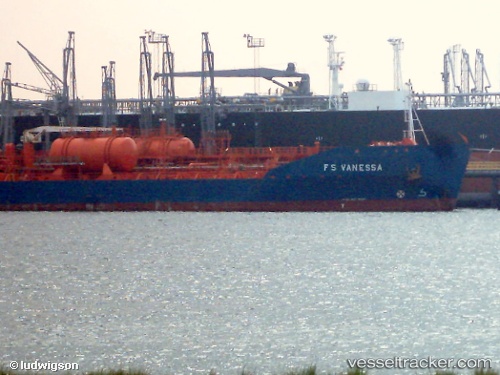
Vessel LEVANTO IMO: 9231602, MMSI: 657248800 Oil Products Tanker
UTC, 6.36242, 3.32476, course: 224, speed: 0.2
UTC, 6.36231, 3.32486, course: 233, speed: 0.2
2026-02-01 19:22:53 UTC, 6.36245, 3.32476, course: 226, speed: 0.4
Live AIS position:
UTC. Near Kirikiri),
updated 2026-02-01 19:22:53 UTC.
Find the position of the vessel LEVANTO on the map. The latter are known coordinates and path.
marine traffic ship tracker show on live map
The current position of vessel LEVANTO is 6.36245 lat / 3.32476 lng. Updated: 2026-02-01 19:22:53 UTCCurrently sailing under the flag of Nigeria
LEVANTO built in 2002 year
Deadweight:
19117 tDetails:
Last coordinates of the vessel:
UTC, 6.36252, 3.32468, course: 219, speed: 0.2UTC, 6.36242, 3.32476, course: 224, speed: 0.2
UTC, 6.36231, 3.32486, course: 233, speed: 0.2
2026-02-01 19:22:53 UTC, 6.36245, 3.32476, course: 226, speed: 0.4