 vesseltracker.com
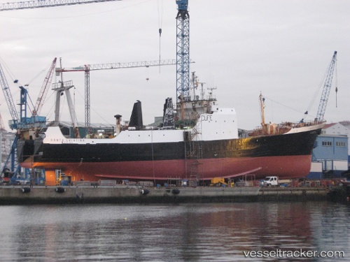
Find the position of the vessel Santa Cristina on the map. The latter are known coordinates and path.
marine traffic ship tracker show on live map
The current position of vessel Santa Cristina is 48.0943 lat / -45.6541 lng. Updated: 2024-04-28 12:56:56 UTCDetails:
Last coordinates of the vessel:
UTC, 48.2998, -45.3232, course: 26, speed: 3.7UTC, 48.2998, -45.3232, course: 26, speed: 3.7
UTC, 48.1762, -45.5824, course: 233, speed: 3.8
2024-04-28 12:56:56 UTC, 48.0943, -45.6541, course: 127, speed: 0.6