 vesseltracker.com
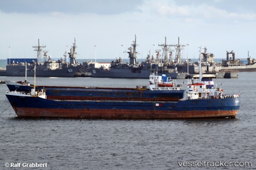
Vessel Albaraka 6 IMO: 6823155, MMSI: 667001251 Livestock Carrier
UTC, 40.94826, 28.78106, course: 192, speed: 0
UTC, 40.94813, 28.78128, course: 199, speed: 0
2026-01-29 13:51:53 UTC, 40.94667, 28.77833, course: -1, speed: 0
Live AIS position:
UTC. Near Kumport),
updated 2026-01-29 13:51:53 UTC.
Find the position of the vessel Albaraka 6 on the map. The latter are known coordinates and path.
marine traffic ship tracker show on live map
The current position of vessel Albaraka 6 is 40.94667 lat / 28.77833 lng. Updated: 2026-01-29 13:51:53 UTCDetails:
Last coordinates of the vessel:
UTC, 40.94837, 28.78146, course: 199, speed: 0UTC, 40.94826, 28.78106, course: 192, speed: 0
UTC, 40.94813, 28.78128, course: 199, speed: 0
2026-01-29 13:51:53 UTC, 40.94667, 28.77833, course: -1, speed: 0