 vesseltracker.com
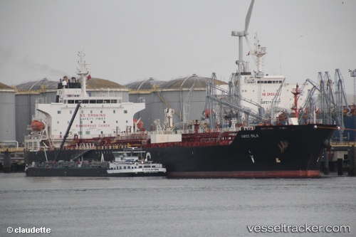
Vessel SONA IMO: 9428358, MMSI: 667001318 Oil/Chemical Tanker
UTC, 20.03772, 37.99118, course: -1, speed: 38.7
UTC, 20.02823, 37.98113, course: 162, speed: 38.9
2026-03-24 19:44:15 UTC, 21.10128, 39.12050, course: 179, speed: 38.9
Live Vessel SONA Analytics (details, animations, etc.)
Live AIS position: UTC. 21 nm S of Jeddah), updated 2026-03-24 19:44:15 UTC.Find the position of the vessel SONA on the map. The latter are known coordinates and path.
marine traffic ship tracker show on live map
The current position of vessel SONA is 21.10128 lat / 39.12050 lng. Updated: 2026-03-24 19:44:15 UTCCurrently sailing under the flag of Sierra Leone
Details:
Last coordinates of the vessel:
UTC, 19.50050, 37.31715, course: 153, speed: 0UTC, 20.03772, 37.99118, course: -1, speed: 38.7
UTC, 20.02823, 37.98113, course: 162, speed: 38.9
2026-03-24 19:44:15 UTC, 21.10128, 39.12050, course: 179, speed: 38.9