 vesseltracker.com
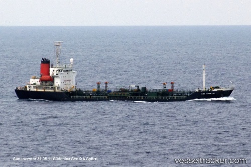
Find the position of the vessel Sunny Power on the map. The latter are known coordinates and path.
marine traffic ship tracker show on live map
The current position of vessel Sunny Power is 25.7309 lat / 121.495 lng. Updated: 2025-05-13 06:55:41 UTCCurrently sailing under the flag of Sierra Leone
Sunny Power built in 1997 year
Deadweight:
4999 tPayload_mass:
4999 tonneGross tonnage:
3866Service entry:
1997-01-01T00:00:00ZManufacturer:
Murakami Hide ShipbuildingDetails:
Last coordinates of the vessel:
UTC, 25.7317, 121.492, course: -1, speed: 0.5UTC, 25.7317, 121.492, course: -1, speed: 0.5
UTC, 25.7308, 121.495, course: -1, speed: 0.4
2025-05-13 06:55:41 UTC, 25.7309, 121.495, course: -1, speed: 0