 vesseltracker.com
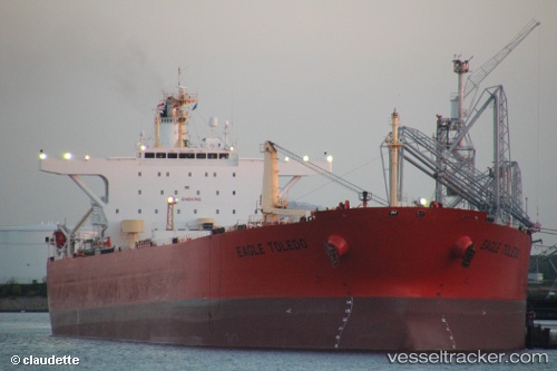
Vessel MIKATI IMO: 9250892, MMSI: 667002308 Crude Oil Tanker
UTC, 59.70858, 28.42677, course: 0, speed: 0
UTC, 59.70854, 28.42674, course: 0, speed: 0
2026-02-16 15:41:03 UTC, 59.70854, 28.42674, course: 0, speed: 0
Live AIS position:
UTC. Near Ruch’I),
updated 2026-02-16 15:41:03 UTC.
Find the position of the vessel MIKATI on the map. The latter are known coordinates and path.
marine traffic ship tracker show on live map
The current position of vessel MIKATI is 59.70854 lat / 28.42674 lng. Updated: 2026-02-16 15:41:03 UTCCurrently sailing under the flag of Sierra Leone
MIKATI built in 2003 year
Deadweight:
107092 tDetails:
Last coordinates of the vessel:
UTC, 59.70862, 28.42674, course: 0, speed: 0UTC, 59.70858, 28.42677, course: 0, speed: 0
UTC, 59.70854, 28.42674, course: 0, speed: 0
2026-02-16 15:41:03 UTC, 59.70854, 28.42674, course: 0, speed: 0