 vesseltracker.com
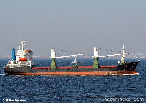
Vessel Maria IMO: 9008081, MMSI: 671645000 General Cargo Ship
UTC, 42.74141, 132.86205, course: -1, speed: 8.8
UTC, 42.74141, 132.86205, course: -1, speed: 8.8
2026-01-17 00:07:52 UTC, 42.74141, 132.86205, course: -1, speed: 8.8
Live AIS position:
UTC. Near Nakhodka),
updated 2026-01-17 00:07:52 UTC.
Find the position of the vessel Maria on the map. The latter are known coordinates and path.
marine traffic ship tracker show on live map
The current position of vessel Maria is 42.74141 lat / 132.86205 lng. Updated: 2026-01-17 00:07:52 UTCCurrently sailing under the flag of Togo
Maria built in 1992 year
Deadweight:
6280 tDetails:
Last coordinates of the vessel:
UTC, 42.74141, 132.86205, course: -1, speed: 8.8UTC, 42.74141, 132.86205, course: -1, speed: 8.8
UTC, 42.74141, 132.86205, course: -1, speed: 8.8
2026-01-17 00:07:52 UTC, 42.74141, 132.86205, course: -1, speed: 8.8