 vesseltracker.com
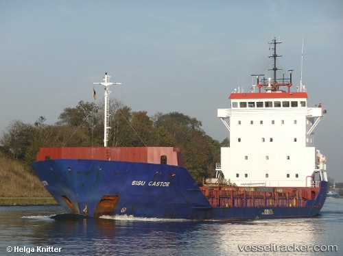
Vessel Sea Bride IMO: 9184718, MMSI: 671878000 Multi Purpose Carrier
UTC, 29.78988, 48.51092, course: 118, speed: 9.8
UTC, 29.69963, 48.68325, course: 157, speed: 7.6
2026-03-11 17:21:37 UTC, 29.52450, 48.88552, course: 111, speed: 8.9
Live Vessel Sea Bride Analytics (details, animations, etc.)
Live AIS position: UTC. 14 nm S of Basrah Oil Terminal), updated 2026-03-11 17:21:37 UTC.Find the position of the vessel Sea Bride on the map. The latter are known coordinates and path.
marine traffic ship tracker show on live map
The current position of vessel Sea Bride is 29.52450 lat / 48.88552 lng. Updated: 2026-03-11 17:21:37 UTCDetails:
Last coordinates of the vessel:
UTC, 30.00540, 48.20326, course: 121, speed: 8.1UTC, 29.78988, 48.51092, course: 118, speed: 9.8
UTC, 29.69963, 48.68325, course: 157, speed: 7.6
2026-03-11 17:21:37 UTC, 29.52450, 48.88552, course: 111, speed: 8.9