 vesseltracker.com
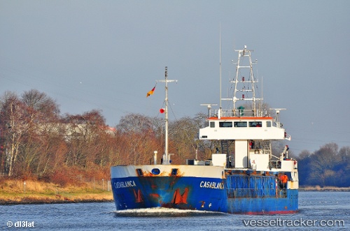
Vessel OLGA S IMO: 9108415, MMSI: 677056000 General Cargo
UTC, 40.87461, 29.20021, course: -1, speed: 0.1
UTC, 40.87467, 29.20017, course: 23, speed: 0.1
2026-02-28 05:41:49 UTC, 40.87512, 29.19917, course: 73, speed: 0.1
Live AIS position:
UTC. Near PENDIK),
updated 2026-02-28 05:41:49 UTC.
Find the position of the vessel OLGA S on the map. The latter are known coordinates and path.
marine traffic ship tracker show on live map
The current position of vessel OLGA S is 40.87512 lat / 29.19917 lng. Updated: 2026-02-28 05:41:49 UTCCurrently sailing under the flag of Tanzania
Details:
Last coordinates of the vessel:
UTC, 40.87461, 29.20049, course: 6, speed: 0UTC, 40.87461, 29.20021, course: -1, speed: 0.1
UTC, 40.87467, 29.20017, course: 23, speed: 0.1
2026-02-28 05:41:49 UTC, 40.87512, 29.19917, course: 73, speed: 0.1