 vesseltracker.com
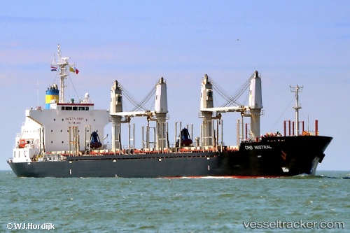
Vessel '701001041' IMO: 9498937, MMSI: 701001041
UTC, -34.86410, -57.89579, course: 23, speed: 0
UTC, -34.86333, -57.89500, course: -1, speed: 0
2026-02-08 16:15:12 UTC, -34.86415, -57.89574, course: 23, speed: 0
Live AIS position:
UTC. Near Ensenada),
updated 2026-02-08 16:15:12 UTC.
Find the position of the vessel '701001041' on the map. The latter are known coordinates and path.
marine traffic ship tracker show on live map
The current position of vessel '701001041' is -34.86415 lat / -57.89574 lng. Updated: 2026-02-08 16:15:12 UTCDetails:
Last coordinates of the vessel:
UTC, -34.86333, -57.89500, course: -1, speed: 0UTC, -34.86410, -57.89579, course: 23, speed: 0
UTC, -34.86333, -57.89500, course: -1, speed: 0
2026-02-08 16:15:12 UTC, -34.86415, -57.89574, course: 23, speed: 0